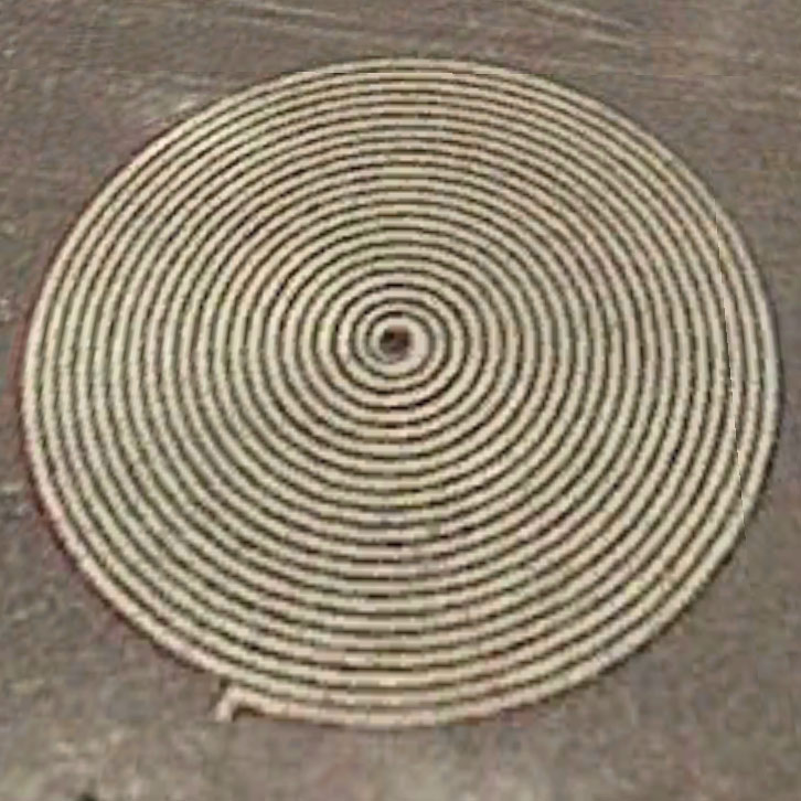
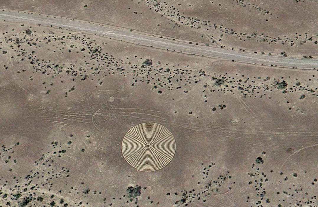
I've been looking for subject matter for some new art pieces and started thinking 'maps', pulled up Google Earth and started poking around the Kofa area. The detail of the photo tiles are outstanding especially when looking at mountainous areas. Then I found this:
Latitude: 33°22'24.24"N
Longitude: 114°10'25.87"W
It's about 90ft in diameter and 160ft from the road, so it might not be visible from the road. I know the dark desert pavement scrapes away easily to reveal lighter material underneath. It's so defined it's almost as if it's piled up material or even trenched. The map photo was taken in 2013. Using Google Earth's history slider you can see the spiral wasn't there in 2010. A spirit walk? Land art? A celebration of 2012? I've combed the internet and found nothing. I'm going to go out there this winter to take a look.
Poking around, I also found this 20ft wide thingy not so far away:
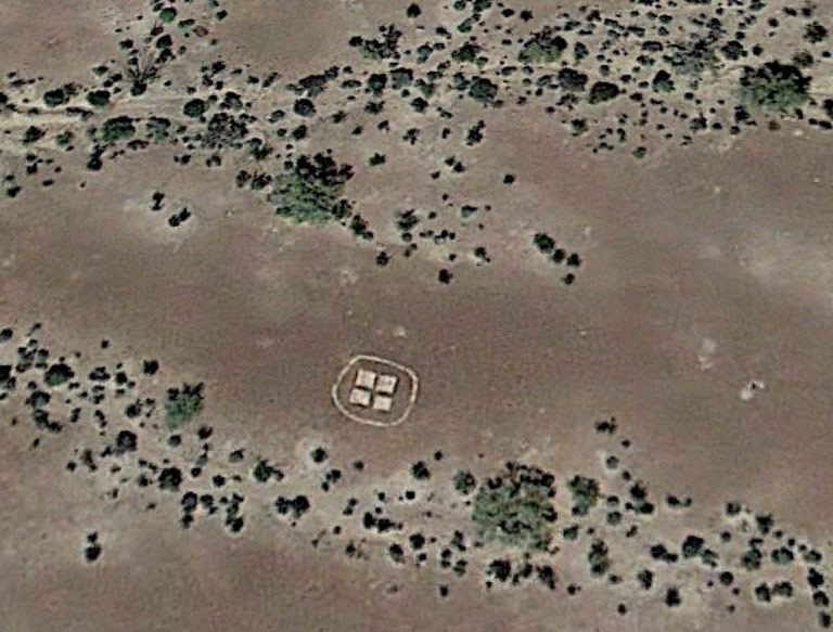
Latitude: 33°22'7.53"N
Longitude: 114° 9'14.19"W
Update!
The very next day after posting this, friend and Wee Gallery artist Stu Jenks jumped in his truck and took the 4hr ride out to the location. He messenged me for a couple details on how to get there and voom! 4hrs later he was standing in front of a spiral "meant for meditation". It was what I thought, carefully raked desert pavement with a path of lighter colored sand. Mystery solved!!
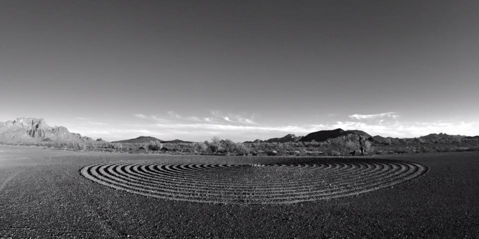 |
| Photo by Stu Jenks |